
A local day hike and a remote, multi-day route call for different things from a hiking app. Your choice depends on the route, map needs, and whether you want discovery, navigation, or activity tracking. A marked park loop may need little more than trail details and a location dot. A backcountry trip calls for deeper map tools and a plan for long stretches without service.
The best hiking apps can help you plan, follow a route, and make time outdoors easier to manage. They cannot judge a washed-out bridge, a storm on a ridge, or whether you should turn back. Treat the phone as a tool, not a substitute for good choices outdoors. This article helps you match app features to your experience, route, and need for offline maps.
Battery life and service matter as much as features when you leave town. A navigation app can still drain a phone, and a saved route does not remove the need to watch the trail. Choose a primary app for the route, then make a deliberate plan for service gaps and battery life.
Key Takeaways
- AllTrails is a friendly place to start finding marked trails.
- Gaia GPS suits complex routes that need layered maps.
- FarOut helps on long-distance trails it covers.
- Offline maps and phone GPS are separate things.
- Check route details, weather, and closures before you go.
- Carry a backup that fits the remoteness of your hike.
Best Hiking Apps for Different Hiking Needs
For most beginners, AllTrails is the easiest starting point, while Gaia GPS is the better fit for complex backcountry navigation. Choose by need, since trail discovery, route guidance, and detailed maps are different jobs. A free GPS hiking app can work for a prepared hike, but you must confirm what map data is saved.
Offline use depends on the app and the map or route you save. Check the details before you rely on any tool beyond cell coverage.
| App | Best fit | Offline-use note |
|---|---|---|
| AllTrails | Trail discovery and beginner planning | Offline maps require Plus |
| Gaia GPS | Backcountry and off-trail mapping | Offline downloads require Premium |
| FarOut | Covered long-distance trails | Download the trail guide for offline use |
| Mapy.com | Free European backup navigation | Save the map region before leaving service |
| Komoot | Route planning, especially in Europe | Download the route first |
A free GPS hiking app can help on a prepared hike, but only if its needed map data is saved before service ends.
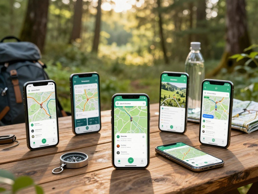
For the best free hiking apps, start with the route rather than a feature count. Mapy.com is a free offline option for European routes, while HiiKER offers offline use in its free version.
AllTrails works well when you want reviews and a simple way to find nearby trails. Gaia GPS offers more map depth for routes where terrain and land features matter. FarOut gives details for specific covered trails, not every route on a regional map.
Komoot can support route planning and offline navigation after you download the route. A free app may still limit which map areas or tools you can use. Match the app to the route before comparing how many features it has.
How to Choose a Hiking App for Your Route
A marked local loop usually needs clear trail details and a reliable location dot, not a professional backcountry map library. Start with the hike, then choose the navigation features that address its main risks. A useful app should make the route easier to understand without distracting you from the terrain.
A 20-mile hike can fit in one day for a conditioned hiker on manageable terrain. Elevation gain, pace, weather, and pack weight can make that distance much harder.
Start with the kind of hike
For a marked day hike, trail details, recent reviews, distance, and elevation may be enough. A long-distance route can call for waypoint notes, campsites, water, and town services. Off-trail terrain needs map layers that show landforms and other features beyond a marked path.
Route planning should fit both your experience and available time. A short trail with steep climbs can take longer than a longer, flatter route. For nearby walks with family, compare trail type and park details using this guide to parks for walking and hiking.
Match the map to your navigation needs
Trail discovery helps you find routes and read reviews. Topographic maps show elevation and land shape, while route files let you follow a planned track. Activity recording keeps a log of where and how you hiked.
A GPX file is a digital track made of geographic points that an app can display and follow as a route. It can help you bring a planned path into a navigation app, but the line still needs a real-world check.
Some hikers want a clear trail map; others need route planning tools and more map detail. An app with many functions may add clutter if you only hike signed park paths. Pick the app that solves the route’s biggest navigation problem, not the one with the longest feature list.
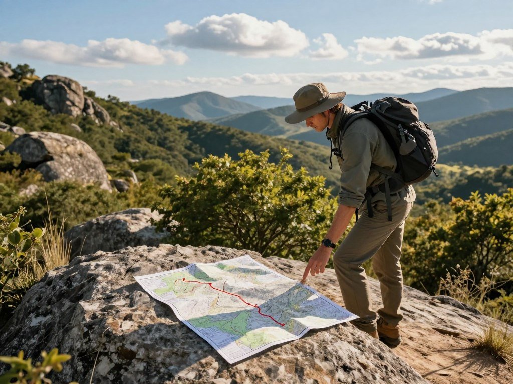
10 Best Hiking Apps for Every Trail Type
AllTrails is the broadest starting point for discovering hikes, while Gaia GPS earns its place for detailed backcountry mapping. The right pick depends on whether you need trail ideas, route guidance, or activity records. Each app below serves a different kind of outing.
A popular community route is not automatically suitable or maintained for every hiker. Check a route against your skills and current conditions before you follow it.
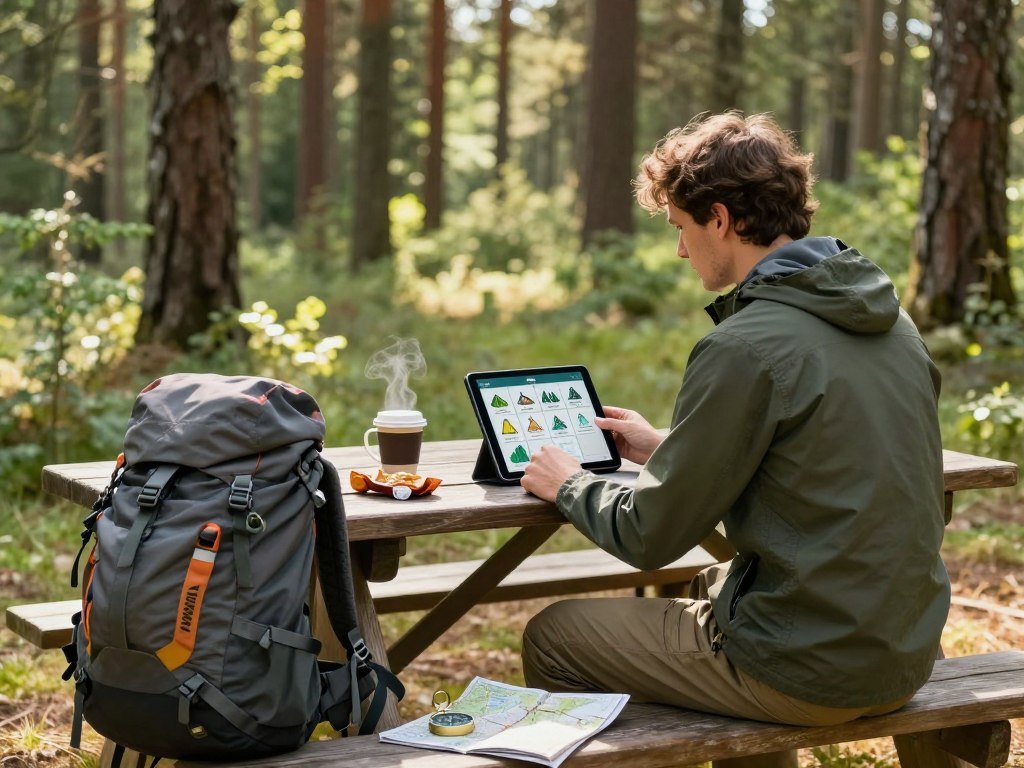
- AllTrails: AllTrails is a strong choice for broad trail discovery, reviews, and beginner-friendly planning. It covers more than 500,000 trails worldwide and offers filters for location, interest, and skill level. Reviews can help you spot recent concerns, but they describe one person’s trip. Use them as clues, not as a promise about today’s conditions.
- Gaia GPS: Gaia GPS fits hikers who need layered maps and advanced route planning. You can compare map types and plan a route with more detail than most marked-trail hikers need. It suits backcountry trips where terrain, access, or route options are less clear. The extra layers matter most when they can change a decision on the ground.
- FarOut: FarOut is built around covered long-distance trails. Its waypoint details and hiker comments can help you plan around water, campsites, and town services. The route-specific focus makes it useful on a known trail, but it is not a general map for every hike. Check that the exact trail sections you need are included.
- onX Backcountry: onX Backcountry helps hikers see public and private land boundaries. That context can matter when a route crosses mixed ownership or travels near property lines. Use it to understand where you are in relation to land boundaries, not as a substitute for checking route access rules. It serves a different purpose than trail-review apps.
- Mapy.com: Mapy.com is a free option for offline maps, especially for European routes. Save the map region before leaving service so the map can load without a connection. It can act as a regional navigation tool, but it does not replace a trail-specific guide with waypoint notes. Check the map area you need before setting out.
- HiiKER: HiiKER focuses on hiking routes and offers offline maps in its free version. It can work for people who want trail planning without paying for offline access. Coverage and features can differ by route and device. Check that the route details and map area suit your plans.
- Komoot: Komoot supports point-to-point route planning and navigation after you download a route. It is especially useful for planning in Europe, where you may want to build a route between places. The route should match your skill and terrain needs. A plotted line alone cannot tell you whether a path is safe or open.
- Wikiloc: Wikiloc gives hikers access to routes uploaded by other users. That community library can help you find ideas beyond popular, well-marked trails. User tracks may vary in detail and quality, so compare them with a map and local information. A route that worked for one person may not fit your ability or conditions.
- Strava: Strava is a good fit for activity tracking, performance metrics, and social features. You can review your recorded efforts and compare activity with other users. It is less focused on detailed trail discovery and navigation than a hiking-first app. Use it to log a hike, not as your only route tool.
- Hiking Project: Hiking Project is an REI-produced app with community-contributed trail information and offline use. Its route notes can help you learn about a trail before leaving home. Like other community tools, its information may not reflect recent changes. Compare the route with current trail notices and your own plans.
These apps can make planning easier, but the trail itself still sets the terms. A community route may be outdated, difficult, or a poor fit for your group. Check that an app’s route matches your skill and the current conditions before treating it as a recommendation.
Which Apps Help Find Accessible and Family-Friendly Trails?
A “wheelchair-friendly” or “stroller-friendly” label is a useful filter, not a guarantee that every segment will suit every user. Use labels to narrow choices, then inspect the route details for the person joining you. Trail surfaces, grades, width, barriers, and upkeep can change what a path feels like on the ground.
Confirm specific access needs before choosing the route. AllTrails has filters for dog-friendly, kid-friendly, stroller-friendly, and wheelchair-friendly trails.

A label may not describe every part of a long trail. Gravel, roots, narrow turns, steep grades, or a closed gate can affect access. The ADA Standards for Accessible Design address accessibility requirements for built environments, but a trail label is not a full site assessment.
Look for recent photos, route notes, and details about the surface or barriers. A family may also need to check rest areas, parking, and rules for dogs. Current local information can add details that an app’s summary misses.
If a route is important for someone’s access, contact the park or land manager when app details leave a key question unanswered. Do not assume a trail is usable just because its name or filter sounds promising. Confirm the route’s surface and barriers with current local information before committing to it.
AllTrails vs Gaia GPS: Which Is Better?
AllTrails is the easier choice for trail discovery and reviews, while Gaia GPS is better when map layers and custom route files matter. For most marked trails, AllTrails offers a simpler start; Gaia GPS gives more control for complex terrain. Choose based on what you need to see and do.
Gaia GPS Premium costs $39.99 per year in 2026 and includes its full map-layer library, device syncing, and offline downloads. AllTrails Plus costs $35 per year in 2026.
| Attribute | AllTrails | Gaia GPS |
|---|---|---|
| Main job | Trail discovery, reviews, and approachable navigation | Layered mapping and advanced route planning |
| Map detail | Trail maps and topo maps in 3D with Plus | USGS 7.5-minute topo maps, satellite imagery, Forest Service roads, and weather overlays |
| Route files | Plan and follow trails within the app | GPX import and export |
| 2026 annual price | Plus: $35 per year | Premium: $39.99 per year |
AllTrails is a practical pick for beginners who want marked trails and clear reviews. Its trail-first approach helps you find options without learning a large set of map layers. That can be enough for many day hikes.
Gaia GPS supports GPX file imports and exports, plus a range of map views. Its USGS 7.5-minute topographic maps show elevation and land shape. Satellite imagery, Forest Service roads, and weather overlays add more context for complex routes.
Gaia GPS can be more capability than a marked-trail hiker needs. Its extra detail helps when you plan off-trail or alpine travel, where terrain features affect route choices. Choose Gaia GPS when its map depth will change a route decision, not just add more detail to the screen.
Is onX or AllTrails Better for Hiking?
AllTrails is the better fit for most hikers seeking trail discovery, while onX Backcountry is the better fit when land boundaries matter. The main difference is the job each app does: one centers on trails and reviews, the other on property context.
In 2026, onX Backcountry costs $29.99 per year and shows parcel-level public and private land boundaries. AllTrails focuses on trail discovery, reviews, and navigation instead.
| Attribute | AllTrails | onX Backcountry |
|---|---|---|
| Main use | Trail discovery, reviews, and navigation | Land-boundary context |
| Boundary detail | Not its central feature | Parcel-level public and private boundaries |
| 2026 annual price | Plus: $35 per year | $29.99 per year |
Choose AllTrails when you are researching and following a known trail. Trail details and reviews can help you decide whether a route fits your day.
onX Backcountry makes more sense when property lines affect where you can travel. A trail or track on a map does not by itself show that every segment is open to public use.
Use the tool that answers the question that matters for your outing. Choose the boundary-focused option when property context affects where you can legally travel.
Is AllTrails or Strava Better for Hiking?
AllTrails is the better hiking companion for trail discovery and navigation, while Strava is stronger for tracking performance and social challenges. Pick by purpose: use a trail-focused app to choose and follow routes, or an activity app to review your effort.
Strava’s Beacon can share your live location with up to three contacts. Its core strengths include activity records, performance metrics, challenges, and segment comparisons.
| Attribute | AllTrails | Strava |
|---|---|---|
| Main purpose | Trail discovery and navigation | Activity tracking and performance metrics |
| Social feature | Trail reviews and community information | Challenges and segment comparisons |
| Route options | Trail-focused route discovery | Free popular routes; paid customization |
| Live sharing | Live trail activity sharing | Beacon shares location with up to three contacts |
AllTrails centers on finding trails, reading reviews, and navigating a hike. Strava puts more focus on how far and fast you went, how your activity compares, and what your community is doing.
Strava’s free version lets you follow popular routes. The paid version adds route customization and more detailed route options. Beacon can add a live-sharing layer when you want a few contacts to follow your location.
If you already use activity apps for training, Strava can fit into that routine. It can record a hike without replacing a dedicated trail map. Read more about workout apps for activity tracking if you want to compare fitness tools. Use Strava as a fitness log when it complements, rather than replaces, dependable route navigation.
What to Check Before You Rely on Offline Maps
A GPS dot can still show your position without cell service, but it cannot make an undownloaded map appear. Your location and map data are separate: the phone can use GPS while map tiles remain missing. Those tiles need to be cached or downloaded before you lose service.
Komoot supports offline use when you download the route first. Other apps may save full regions or trail guides, so confirm what your chosen app stores.
GPS location is not the same as downloaded map data
A phone can determine its location without a cellular connection. That does not mean every map detail is stored on the device. If map tiles were not cached or downloaded, the screen may show your position against a blank area.
Map downloads can also miss parts of a route that crosses a border or leaves the selected region. A GPX line may load while the background map does not. Check both pieces before you leave.
Test the saved map before the hike
Run this quick test at home, while you still have a connection:
- Download the full route or region at home.
- Include every country crossed by the route.
- Load an official GPX file in at least one app.
- Switch to airplane mode and open the map.
- Zoom in to confirm map tiles appear.
This test checks the route, map, and phone together. It can expose missing tiles before they matter on a trail. Test the exact route in airplane mode before leaving home, not after the signal disappears.
Which App Fits Your Region or Long-Distance Trail?
For a covered U.S. thru-hike, FarOut is the route-specific guide choice; for European routes, Mapy.com is a useful free map option. They solve different problems: FarOut offers trail-specific details, while Mapy.com gives broader regional maps.
Use FarOut when it covers your long-distance route and you need waypoint details. Those details can include water, campsites, and town services.
FarOut can help you plan around known stops on covered trails. Hiker comments add context about waypoints, though the conditions described may have changed. Check the specific route and sections you plan to hike.
Mapy.com can provide free offline maps for European routes. It works as a general map tool rather than a guide to one particular trail. That makes it useful when you need regional coverage or a backup map.
A route-specific guide and a general map can work together. One can show trail waypoints while the other gives wider regional context. Hikers may compare guide coverage for the PCT, Appalachian Trail, and Continental Divide Trail.
For a European hike, save the region you need before leaving service. For a U.S. thru-hike, make sure the guide covers your planned sections. Check that the exact trail and the sections you plan to hike are covered before relying on a route-specific guide.
Which Free Hiking Apps Work on iPhone and Android?
HiiKER stands out for free offline map downloads, while AllTrails offers a free version for trail discovery. Free access does not always include offline maps, so check the feature you need on your device.
HiiKER offers free-version offline maps and works across iOS, Android, web, watchOS, and Wear OS. Mapy.com is another free option for European maps.
AllTrails has an Android app and a free version, but its paid offline-map features are not free. The free version can still help with trail discovery. Whether you can save the map you need depends on the app’s feature set.
Availability and feature access can differ by operating system and app version. A download option on one phone may not match what another user sees. Check the specific map and navigation features on your iPhone or Android device before a hike.
Free apps can be useful, but a free label alone does not tell you what works offline. Look at the route tools you plan to use, not just the app’s general feature list. Confirm the offline feature on the exact iPhone or Android device before treating a free app as a complete backup.
How to Use Trail Reviews, GPX Routes, and Weather Data
Use recent trail reports to spot changes, but compare them with official closures and the route on a map. Combine the clues: a review can describe a fresh hazard, while an official notice may explain whether the trail is closed.
A GPX track can be outdated, and a user review may describe only one day’s conditions. Neither should stand alone as proof that a route is safe or open.
Check the route and conditions together
AllTrails offers trail information, condition planning, and weather and ground-condition features. Gaia GPS offers weather overlays, route-file imports and exports, and multiple map types. Those tools can help you compare details, but they do not replace current local notices.
Use this checklist when preparing a route:
- Compare recent trail reports with official closures.
- Check weather for the route and elevation.
- Inspect the GPX line against the map.
- Verify trail junctions and water or shelter points.
- Save the route and relevant forecast details before departure.
Weather can shift across a mountain, and a forecast at the trailhead may not describe higher ground. A route file can also lead along a path that has changed since someone recorded it. Use recent notes to ask better questions, not to skip your own checks.
Look at trail junctions where a route turns or crosses another path. Confirm that water and shelter points make sense for your plan. Recheck the forecast and any closure notices close to departure because mountain conditions can change.
What Do Hiking Apps Track During a Hike?
Hiking apps can record distance, elevation gain, pace, speed, and estimated calories, but those numbers are not a complete measure of effort. They are activity measures, not precise medical or fueling advice. AllTrails records distance, elevation gain, average pace, average speed, and calories burned during an activity.
Uneven terrain uses about 28 percent more energy than flat, even ground. A moderate hike is estimated to burn 300 to 400 calories per hour, with pack weight, speed, and terrain affecting the amount.
That estimate does not predict what you personally burned. A phone app cannot measure every factor that shapes your effort. The numbers can still help you compare two hikes or notice changes in pace over time.
The Washington Trails Association suggests around 150 to 200 calories per hour while hiking. Your needs vary by person and effort. Food, water, weather, pace, and pack weight can all affect how you feel during a long day.
Hiking can support weight management as regular physical activity. A calorie display alone cannot predict fat loss or target fat in one area. It also cannot tell you exactly how much food your body needs during a hike.
For a broader look at activity records and training history, see these apps for tracking workouts. Keep a simple note of your own pace and food needs across outings. Treat calorie estimates as rough context and adjust food and pace to the conditions and your own needs.
Is Paying for AllTrails Worth It?
AllTrails Plus is worth considering for hikers who need offline maps and navigation alerts on routes beyond cell service. Pay for features you will use, not for a long list that does not change your plans.
AllTrails Plus is listed at $35 per year in 2026 and includes offline maps, wrong-turn alerts, live activity sharing, and 3D trail and topo maps.
Plus can help when you regularly hike beyond cell coverage or want alerts on a route. Live sharing can also add a way for others to follow your activity. The value depends on whether those tools solve a real need for you.
AllTrails Peak includes Plus and Base features, then adds route creation or modification and heatmaps of recent trail activity. Peak users can modify one of more than 500,000 existing trails. Those tools are aimed at hikers who want to build or adjust routes.
If you mostly follow marked trails and already have a map option that works, you may not need an upgrade. A paid tier makes more sense when it supports a recurring kind of hike or planning task.
Think about the routes you actually take, not a rare trip you might make someday. Compare the features you will actually use with the annual commitment before choosing a tier.
How to Avoid Common Hiking App Navigation Mistakes
A route drawn by another hiker is one clue, not proof that the path is maintained, legal, or right for your ability. Community tracks need a close look because they can include errors, hard terrain, or private-property crossings.
Stop when a track, signs, and terrain disagree. A route line can create false confidence when it does not match what you see around you.
Check community routes against the terrain
User-uploaded tracks can be inaccurate, outdated, or unsuitable for your skill. Some lines follow unmarked paths, and those paths may cross private land. AllTrails and OpenStreetMap draw on map details that can vary by area and contributor.
Comparing different map data can reveal a mismatch, but it does not prove which route is correct. Check signs and current local details when the line conflicts with the trail. A track someone completed may also be too steep or rough for your group.
Keep the screen from replacing trail awareness
Watch for these common mistakes:
- Following a GPX line without checking signs.
- Assuming a popular route is safe or maintained.
- Navigating with an untested map.
- Staring at the screen instead of watching the trail and conditions.
Keep your attention on the ground when walking, especially near steep edges, loose rock, or junctions. Stop in a safe place when you need to read the screen or compare route details.
Stop when the track, signs, and terrain disagree, then check the route before continuing.
A wrong turn is easier to fix before you have gone far. Stop when the track, signs, and terrain disagree, then check the route before continuing.
Do You Need a Paper Map or a Second Navigation App?
A paper map is still a valuable backup because it does not depend on a charged phone. More remote routes need more backup, especially when a phone failure could leave no safe alternative.
For remote or unfamiliar hikes, carry a second app with different map data. A paper map adds another option when a device fails.
A paper map helps only if you can orient it and read the terrain. A compass is useful when you know how to use it, but carrying one without map-and-compass skills is not a complete backup.
Choose redundancy that fits the setting and your skill. A familiar local loop has different risks from an isolated route where turning back is hard. Consider these options:
- A second app with different map data.
- A paper map covering the route.
- A compass plus practiced navigation skills.
Phone storage, battery life, and screen use can shape how much you depend on an app. Plan for the kind of failure that would matter most on your route. The National Park Service lists navigation tools and extra phone batteries among its Ten Essentials for outdoor trips.
Carry the level of redundancy that matches the remoteness and consequences of getting off route.
How to Plan a Hike Before You Leave
A good hike plan starts with a route that fits your ability, daylight, and conditions. Match the plan to the day, not just the distance shown on a map. AllTrails can help you review trail details, weather, air quality, UV index, and ground conditions.
A conditioned hiker can cover 20 miles in a day on manageable terrain. Elevation gain, weather, pace, and pack weight can change whether that plan works.
Use four steps to get ready:
- Choose a route that matches your ability and available time.
- Review distance, elevation, and current trail conditions.
- Check weather and likely turnaround time.
- Save the route and share a plan with someone when appropriate.
For a day hike, a long distance may leave little room for delays. Steep climbs, heavy packs, or poor weather can slow your pace. Check the time you have before setting out, including the light you need for the return.
Prepare clothing for the forecast, too. A packable waterproof layer can help when rain or changing weather is likely. For wet trails, compare options in this guide to waterproof hiking pants.
Tell someone where you plan to go and when you expect to return when the route calls for it. Leave room to turn back if the day runs slower than expected. Set a turnaround point before the hike so a slower pace does not turn into an avoidable late finish.
Conclusion
The best setup is the one that fits the trail and still works when your phone has no signal. AllTrails is a sensible starting point for trail discovery, while Gaia GPS suits more demanding layered-map needs. Your route decides which information matters most.
A long feature list does not make an app right for every outing. Choose one that fits your skill, map needs, and the place you plan to hike. Make a simple test part of your preparation.
Choose your primary app today, save the route, and test it offline before heading out.
FAQ
What is the best app to use for hiking?
Is there a better app than AllTrails?
Is onx or AllTrails better for hiking?
Is AllTrails or strava better for hiking?
Is paying for AllTrails worth it?
Can you lose belly fat by hiking?
Why do hikers eat gummy bears?
Is walking or hiking better for weight loss?